
RobotLAB Robot
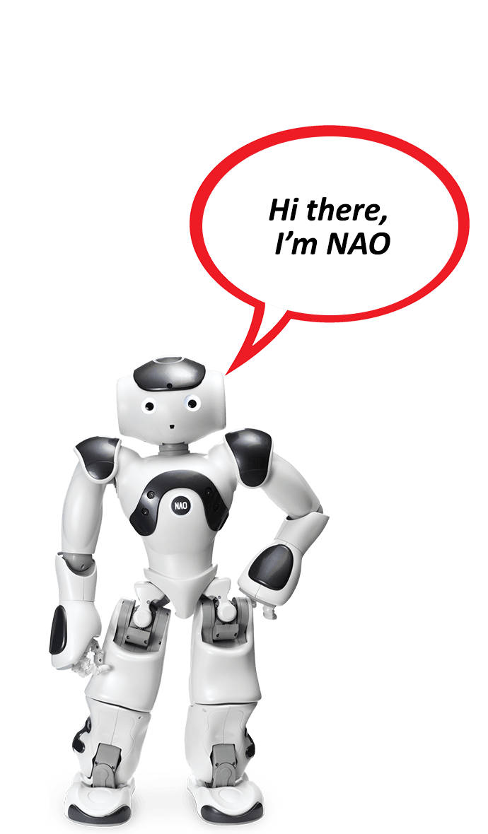
NAO Robot-Customized Greeting add on
NAO Customized Greeting
Contact Us
How hospitality operators evaluate, deploy, and scale commercial robots.
Tell us your industry and we'll recommend 3-4 robots to shortlist.
We evaluate, certify, and service every robot we sell.
From marketing, sales, demonstrations, and proof-of-concepts through deployment, training, support — and even repair. Local teams, local inventory, same-day service.
The first and only commercial robotics & AI franchise in America.
Sent by email within hours. 14-day review period. No obligation.
By Elad Inbar, RobotLAB founder & CEO — a practical guide to adopting robotics that actually delivers ROI.
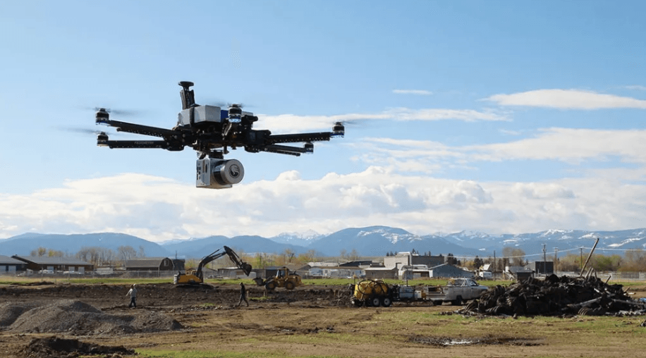
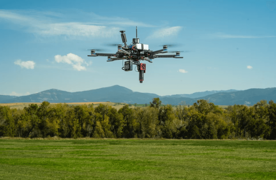
About the book →The use of drones for surveying offers benefits such as cost-effectiveness, time efficiency, accessibility, high precision, versatility, real-time monitoring, reduced environmental impact, and improved safety compared to traditional surveying techniques
Drawing insights from CEO Elad Inbar’s Robots for Business Leaders , drones & aerial systems represent a fundamental shift in operational efficiency and cost management.
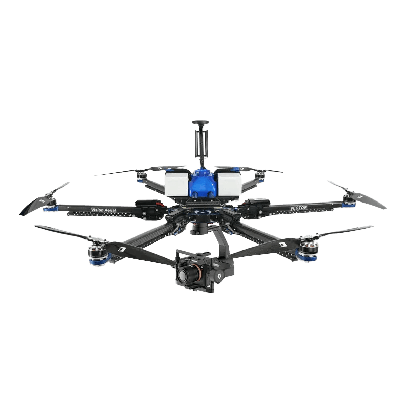
The Vision Aerial Drone Surveying System delivers this transformative value by providing consistent, reliable performance that fundamentally changes operational cost structures.
Vision Aerial Drone Surveying System for Government & Public Service The Vision Aerial Drone Surveying System enhances government and public service operations by providing high-resolution data for urban planning, infrastructure inspection, and environmental monitoring, thereby improving efficiency and safety. Drones reduce costs by performing surveys and inspections more quickly and safely than traditional methods. They also support disaster response, resource management, and public safety efforts, ultimately leading to better decision-making and transparency. Government & Public Service ROBOTS


Same-day response. We handle delivery, on-site setup, staff training, and ongoing service nationwide.
The use of drones for surveying offers benefits such as cost-effectiveness, time efficiency, accessibility, high precision, versatility, real-time monitoring, reduced environmental impact, and improved safety compared to traditional…
The Vision Aerial Drone Surveying S is listed at $25,968 by RobotLAB. Financing and Robots-as-a-Service (RaaS) options are available — request a quote for current terms.
The Vision Aerial Drone Surveying S is manufactured by Vision Aerial and sold, deployed, and serviced across the US by RobotLAB — America's largest commercial-robotics integrator.
Request a free demo or quote for the Vision Aerial Drone Surveying S through RobotLAB. We handle delivery, on-site setup, staff training, and ongoing service nationwide. Call 1-87-RobotLAB or use the form on this page.
NAO Customized Greeting

A full-sized bipedal humanoid for service, manipulation, and research — sold, leased, RaaS-subscribed, deployed, and serviced nationwide by RobotLAB.
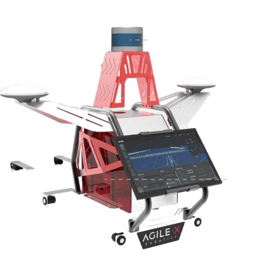
Turn any AgileX rover into a full-stack autonomous-driving research vehicle — pre-integrated LiDAR, compute, and Autoware software, deployed and supported by RobotLAB.
.jpg)
BellaBot provides users with an unprecedented food delivery robot experience.
You choose which categories of cookies are stored on your device. Strictly-necessary cookies are required for the site to function and cannot be disabled. Read more in our Privacy Policy.
Session, security, and the consent record itself. Required for the site to operate.
First-party tracking (Mautic, on t.robotlab.com) so we understand which pages and products visitors engage with and improve the site over time.
Advertising pixels (Google Ads, Meta Pixel) used to measure ad performance and show relevant ads on partner sites. Turning this off opts you out of CCPA "sale" of personal information.